While warm and dry conditions will prevail for the next couple days, the season’s first major storm will take shape beginning Friday into the weekend bringing strong wind, valley rain, mountain snow with the potential for valley snow Sunday, according to the National Weather Service.
Dry weather with mild temperatures will continue through at least Thursday, with afternoon highs reaching the upper 60s to low 70s. Changes begin Friday as strong winds are expected along the Sierra Front, with gusts exceeding 45 mph, forecasters said.
At the time of this writing, NWS forecasters say there’s a 50 to 80 percent chance of precipitation Friday evening, mainly valley rain and mountain snow. As it stands now, snow levels may hover between 7,500 to 8,000 feet from the Lake Tahoe Basin down to Mono County. However, snow levels could fall as low as 6,500 to 7,000 feet late Friday night, bringing a high chance for roadway accumulations.
At this time, most weather models show at least a 50 percent chance of more than 6 inches of snow by Saturday afternoon for Sierra locations over 7,500 feet.
Showers may linger along the Sierra through Saturday afternoon, though the remainder of the area looks dry with a less than 20 percent chance of precipitation along the Sierra Front.
Another system is expected to impact the area Sunday through Monday, with lower snow levels. There is still weather model uncertainty, which will impact snowfall totals, NWS forecasters said.
Lowest snow levels could be below valley floors, with the highest above 7,500 feet. It will be windy as well with gusts of 15 mph to 25 mph. As we get closer to the weekend, forecasters will have a better picture of what to expect Sunday onward.
Other than the varying rain and snow this weekend, we can expect much cooler temperatures, forecasters said. Afternoon highs will be in the low to mid 50s for valleys and low to mid 40s for Sierra communities.
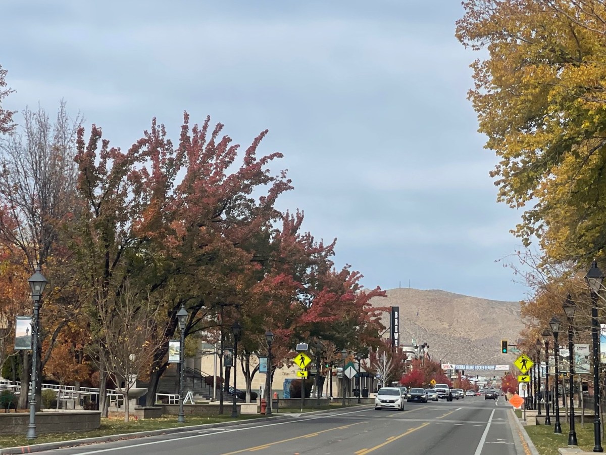
Here’s Carson City’s forecast as of Tuesday morning. Expect changes as the week progresses:
Today: Sunny, with a high near 65. Calm wind.
Tonight: Clear, with a low around 34. Calm wind.
Veterans Day: Sunny, with a high near 68. Calm wind.
Wednesday Night: Mostly clear, with a low around 33. Calm wind.
Thursday: Mostly sunny, with a high near 63. Calm wind.
Thursday Night: Partly cloudy, with a low around 32. Calm wind becoming southwest around 5 mph in the evening.
Friday: A 20 percent chance of rain after 10am. Windy. Snow level 7,100 feet rising to 7800 feet in the afternoon. Partly sunny, with a high near 56.
Friday Night: Rain likely, mainly before 4 a.m. Snow level 7300 feet. Mostly cloudy, with a low around 32.
Saturday: A slight chance of rain before 10am. Snow level 7100 feet. Partly sunny, with a high near 51.
Saturday Night: A slight chance of rain. Snow level 7,300 feet. Mostly cloudy, with a low around 31. Breezy.
Sunday: A chance of rain. Snow level 7,200 feet. Partly sunny, with a high near 49.
Sunday Night: A chance of rain. Snow level 6,800 feet lowering to 6,100 feet after midnight. Mostly cloudy, with a low around 26.
Monday: A chance of rain and snow. Snow level 5,500 feet. Partly sunny, with a high near 44.