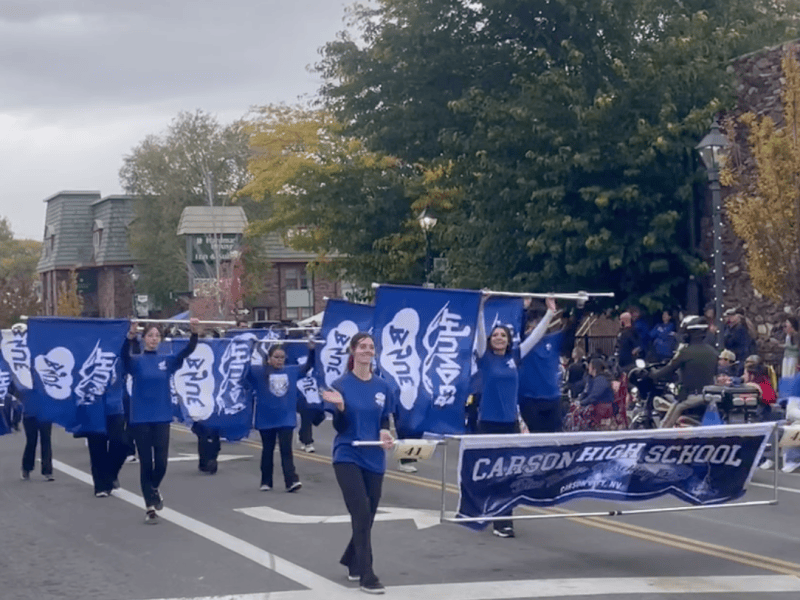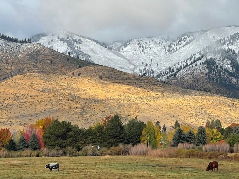
With the bulk of rain holding out until after the Nevada Day Parade on Saturday, a solid valley drenching along with mountain snow overnight brought a picturesque welcome to this first day of November.
The rain and snow will gradually taper off Sunday from west to east across Carson City and surrounding counties. Monday will be warmer and drier, with a return of increased winds and showers on Tuesday, according to the National Weather Service.
Daytime high temperatures Monday will range from the mid to upper 50s in western Nevada valleys and low 50s for Lake Tahoe communities.
Another upper trough then moves through the region Tuesday, which will cause winds to increase during the day, especially for Sierra ridges, with gusts up to between 70 to 80 mph in the afternoon, NWS forecasters said.
Precipitation chances (20-40 percent) also return to the Northern Sierra and in eastern Pershing and Churchill counties during the afternoon and evening, though not much moisture is in the forecast.
Snow levels Tuesday in the Lake Tahoe Basin will be between 7,000 to 7,500 feet, but NWS forecasters are not anticipating much accumulation, if any, at this time. Lingering precipitation chances in the eastern Pershing and Churchill counties then taper off by early Wednesday morning.
Weather models show the upper trough leaving followed by an upper ridge moving over region behind it. This ridge will likely strengthen going into the weekend, signaling warmer temperatures and dry conditions prevailing during the latter half of the week. NWS forecasters say rain and snow showers may return by Veterans Day.
This week’s National Weather Service forecast for Carson City as of Sunday morning:
Today: Mostly sunny, with a high near 49. Calm wind becoming north around 5 mph.
Tonight: Mostly clear, with a low around 25. Northwest wind around 5 mph becoming calm.
Monday: Mostly sunny, with a high near 54. Calm wind becoming east around 5 mph.
Monday Night: Mostly cloudy, with a low around 31. Calm wind.
Tuesday: A 20 percent chance of rain after 10am. Snow level 6,400 feet rising to 7,700 feet in the afternoon. Partly sunny, with a high near 56. Calm wind becoming southwest around 5 mph in the afternoon.
Tuesday Night: Partly cloudy, with a low around 28. West wind around 5 mph.
Wednesday: Sunny, with a high near 54. Wednesday Night: Partly cloudy, with a low around 28.
Thursday: Mostly sunny, with a high near 56.
Thursday Night: Partly cloudy, with a low around 28.
Friday: Mostly sunny, with a high near 57.
Friday Night: Mostly clear, with a low around 29.
Saturday: Sunny, with a high near 59.